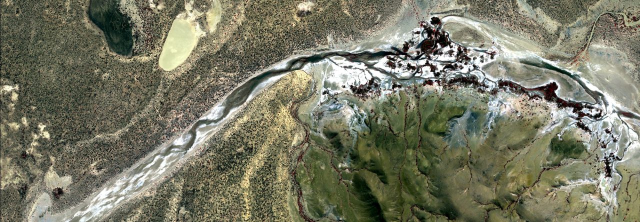
- Google Earth Engine
- Biodiversity and Climate Change Virtual Laboratory (BCCVL)
- Access and visualise a large set of biological, environmental, and climate (including future scenario) datasets and concurrently run statistical analyses on your data without burdening your personal computer.
- Picterra
- Is an easy to use AI object detection workflow. Users select aerial or satellite imagery over their area of interest and then train the AI by providing examples of the object to be detected. Picterra then runs the object detection model and provides the ability to count, visualise and organise your results as well as export the data and share via a URL.
