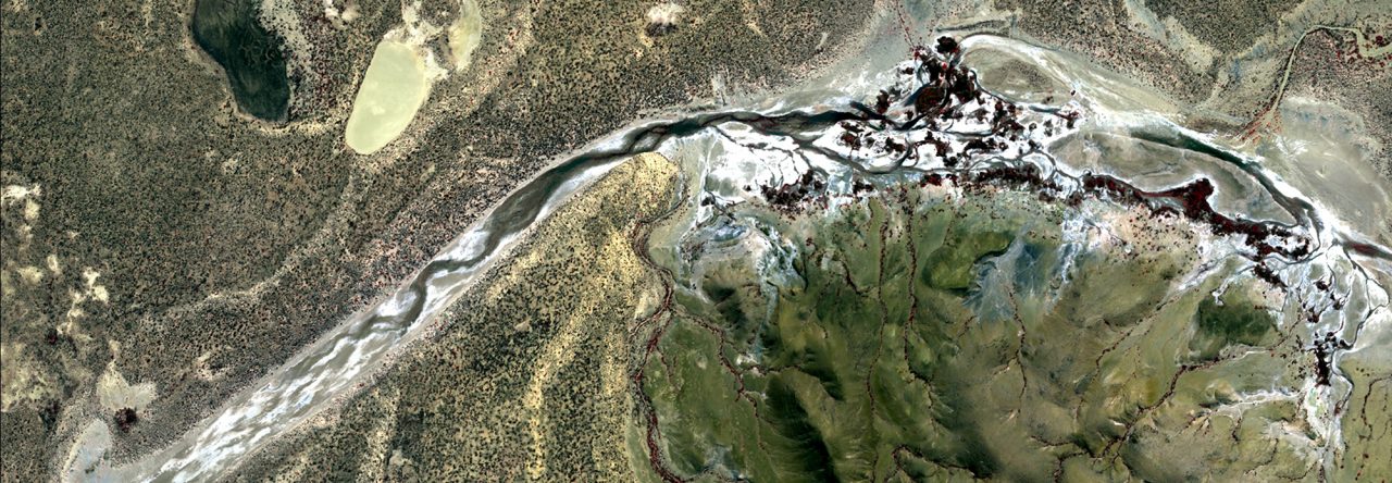
I’m a final year PhD Candidate in Environmental Remote Sensing and Spatial Science at the University of Adelaide. Although I started my professional career as a GIS technician, for the better part of the past 20 years I have worked as an archaeological consultant, specializing in heritage surveys and rockshelter excavations in the Pilbara region of Western Australia. My PhD research aims to show to how aerial and satellite remote sensing technologies can help us better understand the ancient Aboriginal archaeological record of the Australian arid zone. It has been a lifelong passion of mine to marry my interests in Earth observation imagery with the archaeology—and I love it!
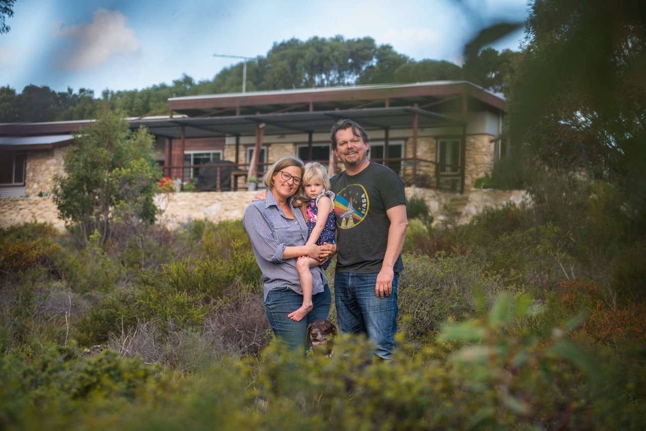
If you’d like to learn more about my academic work, you can check out my University of Adelaide researcher profile. However, I thought I’d spend this paragraph briefly describing ‘the real me.’ I grew up in central Texas, but I’ve been living and working in Australia more-or-less since the mid-199os. I’m a proud dad and I’ve been married to my fabulous wife Sarah for nearly 20 years. We live on Kangaroo Island, where we built a beautiful stone house from the rocks on our land. When I’m not working, I enjoy performing original music at markets and venues around the island. The recent Kangaroo Island bushfires have had a devastating effect on our community. In response, I have been using satellite imagery to map bushfire affected areas for the purpose of assisting recovery efforts. You can help Kangaroo Island with the recovery by supporting local producers and businesses by visiting the island for a holiday in the near future. There is still so much to see and enjoy in this beautiful place.

Leave a Reply